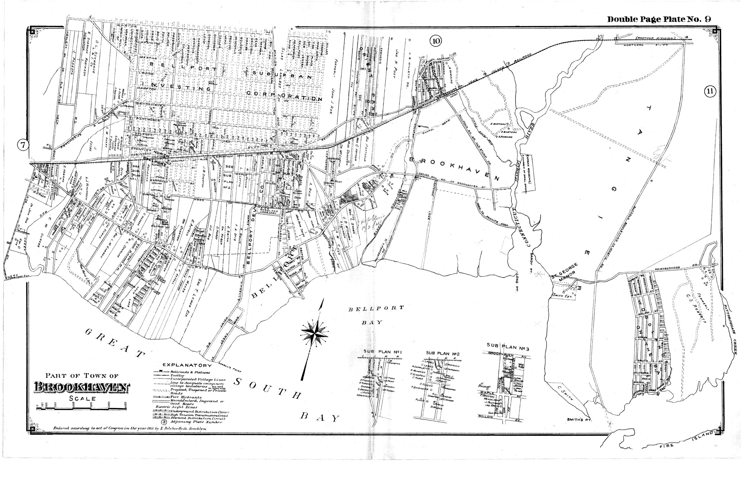
Plates 9 and 10 of a 1915 Map of Part of the Town of Brookhaven, NY
Published by E. Belcher Hyde, Brooklyn, 1915.
There are two map plates in this collection.
Maps files are in pdf format, and are scalable so that the full details of the original double plates are available.
Click on images for full size maps.


