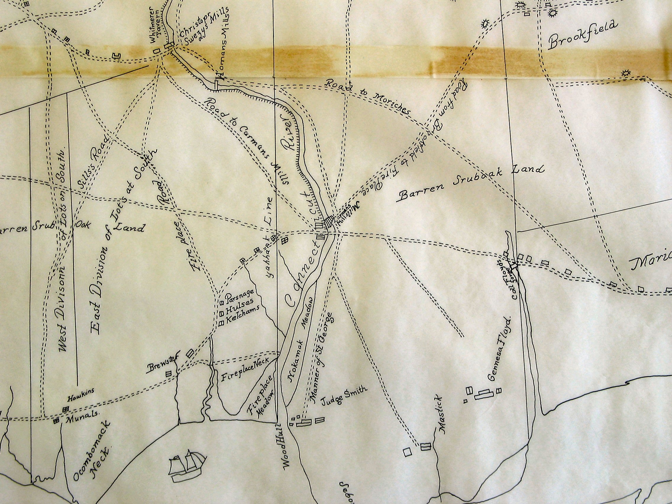
Section of the 1797 Map of the Town of Brookhaven
Showing South Haven, Fire Place, Mastic and Environs
This is segment of a tracing of a map of the Town of Brookhaven originally prepared in 1797 by Isaac Hulse. The full tracing is in the South Country Library, Bellport, NY. Copies of the map may also be viewed at the Town of Brookhaven’s Historian’s office. This segment shows Fire Place, South Haven, and vicinity. The Carman’s Mills at South Haven are at the center.
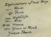
The legend for the map
A map of the Town of Brookhaven in the County of Suffolk. Made from an Actual Survey of the out Lines of Said Town in October and November 1737 the East Line of said Town from Wading River to Peaconick River was run South in the year 1792 and said Line Runs Now South 1°½ East to the same place.
Said map was Laid Down By the Magnetic Meridian Line as the Neadle pointed at present By a Scale of fifty Chains To an Inch.
Done by Me Isaac Hulse Surveyor of Brookhaven
Under the Direction of Me Wm Phillips Supervisor of sd Town.