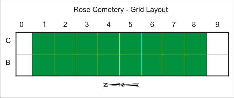
For documentation purposes, a grid of 10 ft. x 10 ft. squares has been laid out. The grid consists of two rows labeled “B” and “C” stretching north-south. Each row is divided into ten squares starting with “0” at the north end and “9” at the south end. No artifacts have been found in columns “0” or “9”. Photographs are in the green squares.
Two sets of photographs have been taken. The first set, labeled B1 through C8, is looking east, and the second set, labeled NB1 through NC8, is looking north.
This companion key map identifies each artifact within a square.
